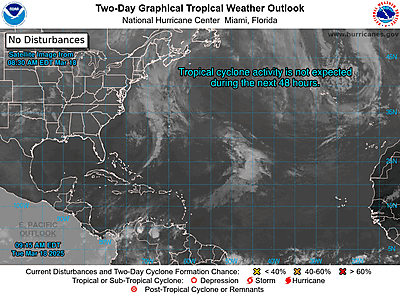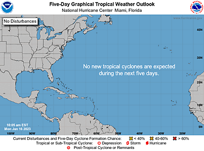

ZCZC MIATWOAT ALL
TTAA00 KNHC DDHHMM
Special Tropical Weather Outlook
NWS National Hurricane Center Miami FL
830 PM EST Tue Dec 6 2022
For the North Atlantic...Caribbean Sea and the Gulf of Mexico:
Special Tropical Weather Outlook issued to discuss the potential for
subtropical development over the central Atlantic.
1. Central Subtropical Atlantic:
A large non-tropical area of low pressure located over the central
subtropical Atlantic about 800 miles northeast of the northern
Leeward Islands continues to produce a large area of disorganized
showers and thunderstorms. Environmental conditions appear
marginally conducive for development and a subtropical or tropical
storm could form within the next day or two. By Thursday night
or early Friday, the low will move northeastward over cooler waters
and interact with a mid-latitude trough, limiting the chance for
additional subtropical or tropical development of the system.
Additional information on this low, including warnings, can be found
in High Seas Forecasts issued by the National Weather Service. The
next Special Tropical Weather Outlook on this system will be issued
by 9 AM EST Wednesday, or earlier, if necessary.
* Formation chance through 48 hours...medium...50 percent.
* Formation chance through 5 days...medium...50 percent.
High Seas Forecasts issued by the National Weather Service
can be found under AWIPS header NFDHSFAT1, WMO header FZNT01
KWBC, and online at ocean.weather.gov/shtml/NFDHSFAT1.php
Forecaster Brown
More...

