Belize in Pics Series: Northern Ambergris Caye

M

mercury

Guest
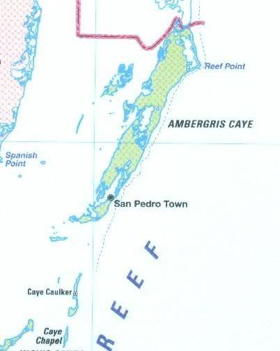
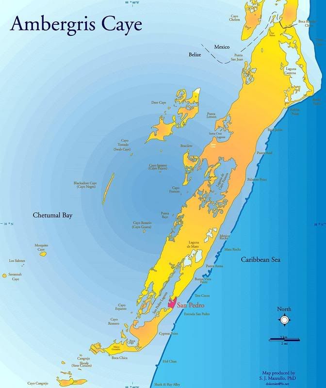
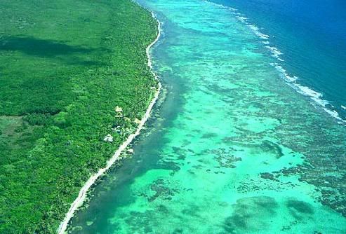
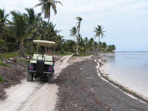
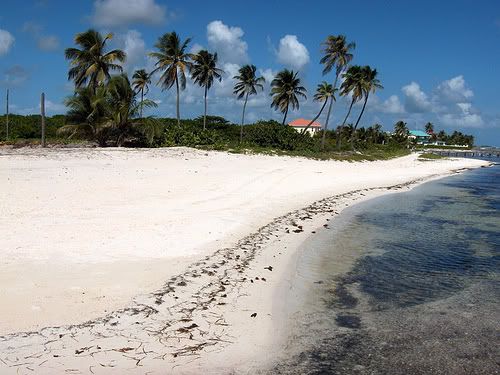
Due to the news of government de-reserving a significant percentage of the Bacalar Chico National Park and Marine Reserve, and since there aren't many pics in the set, I decided to post this early.

_________________

[size=large]AMBERGRIS CAYE, BELIZE DISTRICT[/size]


Map showing location of Ambergris Caye


NorthernCayes.jpg


Map of Ambergris Caye


AmbergrisCaye.jpg
 
[size=large]AERIAL OF NORTHERN BEACH & REEF[/size]

There are areas in northern Ambergris Caye where the reef actually meets the island.


Reef.jpg
 
[size=large]BOCA BACALAR CHANNEL[/size]

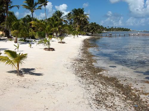
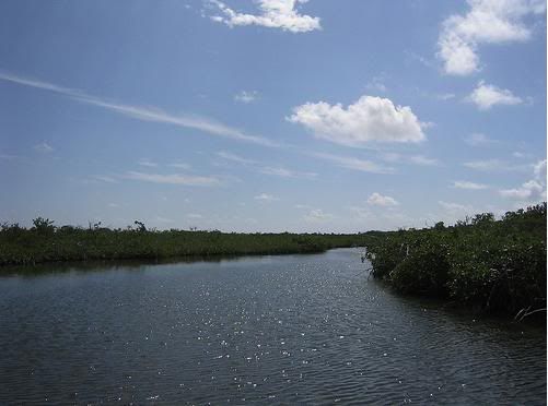
Mexico on left; Belize on right. Official border between Ambergris Caye and Quintana Roo. The channel was dug out by the Maya way back when for navigational purposes. If not, then probably Ambergris Caye would have been Mexican and everyone would have been speaking Spanish here. Oh wait, everyone here already do :D


BacalarChicoChannel-MexBZ.jpg
 
[size=large]BACALAR CHICO NATIONAL PARK & MARINE RESERVE INFORMATION CENTER[/size]


BacalarChicoNationalParkMarineRe-1.jpg
 
[size=large]BACALAR CHICO NATIONAL PARK & MARINE RESERVE[/size]

Reef and small caye off the coast of Ambergris Caye at the Bacalar Chico National Park & Marine Reserve.


BacalarChicoNationalParkMarineReser.jpg
 
Back
Top